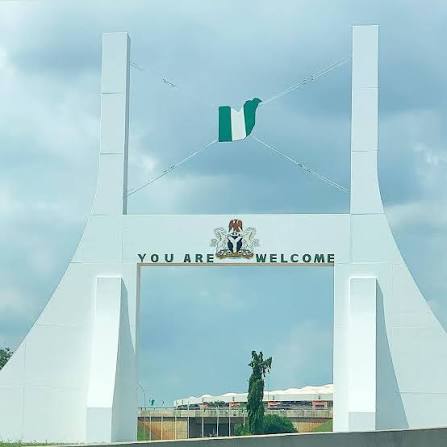

Residents of the Federal Capital Territory were briefly unsettled after an earth tremor shook parts of Abuja on Tuesday, prompting the Federal Government to strengthen seismic surveillance while assuring the public that there is no immediate danger.
The Minister of Solid Minerals Development, Dele Alake, has directed the Nigerian Geological Survey Agency (NGSA) to provide hourly updates on seismic activities around the nation’s capital. The reports will allow the government to closely monitor the situation and escalate any significant developments to relevant agencies if necessary.
The directive followed scientific findings by the NGSA, which confirmed that the tremor was a minor seismic event. According to the agency, the movement was detected by its Seismic Monitoring Station in Utako at exactly 11:23:27 a.m. on Tuesday, August 4. The tremor originated from a depth of one kilometre and travelled about four kilometres within five seconds.
In a statement issued by the minister’s Special Assistant on Media, Lara Owoeye-Wise, Alake—currently in Washington, D.C., for meetings with American investors on Nigeria’s solid minerals sector—urged Abuja residents to remain calm. He stressed that government agencies were actively monitoring the situation and had already taken precautionary measures to protect lives and property.
The NGSA classified the incident as a light seismic event measuring between I and II on the Mercalli Intensity Scale, indicating that it was too weak to cause structural damage. The agency explained that such surface earth tremors may cause mild shaking and temporary fear but do not pose any significant threat to buildings or public safety.
Reaffirming the government’s response, Alake instructed the agency to intensify surveillance across the Federal Capital Territory and continue submitting hourly reports for ongoing assessment. He assured residents there was no reason for panic and encouraged them to go about their normal daily activities while experts continued to monitor the situation.
Although Nigeria is not located along any of the world’s major tectonic plate boundaries, isolated low-intensity earth tremors have been recorded over the years in Abuja, Kaduna, Kogi, Oyo and Bayelsa states. Experts say these events are generally minor but highlight the importance of continuous seismic monitoring and emergency preparedness.
The Nigerian Geological Survey Agency remains the country’s leading geoscience institution, responsible for geological mapping, mineral exploration, geophysical surveys and seismic monitoring. Through its nationwide network of monitoring stations, the agency provides scientific assessments that support disaster preparedness and public safety.